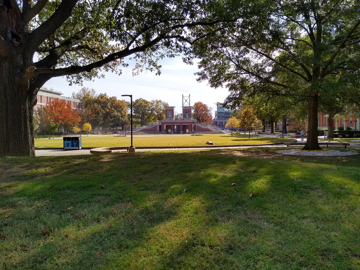
The city's University planning district, around the University of Memphis and Audubon Park, spans ZIP codes 38111 and 38117 and splits among four high zones.
Last checked Oct. 18, 2026. Sources: the City of Memphis’s Memphis 3.0 planning districts and district boundary layer, the Memphis 3.0 Comprehensive Plan, 2021 update (PDF), the city’s parks layer, Memphis-Shelby County Schools’ School Zone Locator, the Tennessee Department of Education’s 2024-25 letter grades, the Zillow Home Value Index, 2020 Census block counts and OpenStreetMap. Memphis 3.0 planning office: 901-636-6601.
The University District is one of the 14 planning districts in the city’s Memphis 3.0 comprehensive plan, named for the University of Memphis and running east from Midtown to Mount Moriah Road. About 57,600 people lived in it at the 2020 census, in about 28,200 homes, by our count of Census blocks inside the district line.
What this means for you
- High school: split; about 40% of residents are zoned for White Station High, 26% for Overton High and 21% for Melrose High.
- Home value: Zillow’s typical value in ZIP code 38111 was $130,811 in September 2026; in 38117, $264,140.
- Interstate: I-240 Exit 21 (Lamar Avenue) and Exit 20 (Getwell Road) are about 2.6 miles south of the district’s population center.
Where it is
On the city’s district map, the University District runs from Summer Avenue on the north to I-240, Getwell Road and Rhodes Avenue on the south, and from Park Avenue, Poplar Avenue and East Parkway on the west to Mount Moriah Road and Mendenhall Road on the east. About 49% of residents are in ZIP code 38111, 34% in 38117, 10% in 38112 and 7% in 38122.
The plan’s district map of places residents named in workshops shows the neighborhoods Binghampton, High Point, Chickasaw Gardens, Normal Station, East Buntyn, Messick Buntyn, Audubon Park, Sherwood Forest, Colonial Acres, Red Acres, Belle Meade, The Village, Waynoka, Hyland Park, South Park and Willow. The comprehensive plan names Broad Avenue and Highland Street as urban centers and neighborhood crossings at the High Point area, Merton and Harvard, Merton and Oxford and Dunn and Cherry.
Schools
Memphis-Shelby County Schools assigns schools by address. In the zone data behind its School Zone Locator:
| School | Address | Share of 2020 residents zoned | 2024-25 state grade |
|---|---|---|---|
| White Station High | 514 S. Perkins Road | 40% | A |
| Overton High | 1770 Lanier Lane | 26% | D |
| Melrose High | 2870 Deadrick Ave. | 21% | D |
| Douglass High | 3200 Mount Olive Road | 8% | B |
| White Station Middle | 5465 Mason Road | 37% | A |
| Colonial Middle | 1370 Colonial Road | 29% | B |
| Sherwood Middle | 3480 Rhodes Ave. | 21% | C |
| Treadwell Middle | 920 N. Highland St. | 13% | C |
| White Station Elementary | 4840 Chickasaw Road | 32% | B |
| Sherwood Elementary | 1156 Robin Hood Lane | 17% | F |
| William Herbert Brewster Elementary | 2605 Sam Cooper Blvd. | 11% | C |
Smaller parts are zoned for Willow Oaks, Sea Isle, Hanley, South Park and Grahamwood elementary schools. Grades are from the Tennessee Department of Education’s 2024-25 A-F letter grade file; addresses are from the federal NCES school directory. Check one address in the locator. More in our schools guide.
Home values
According to the Zillow Home Value Index (Zillow Research):
| Area | September 2026 | September 2025 | Change |
|---|---|---|---|
| ZIP code 38111 | $130,811 | $133,138 | -1.7% |
| ZIP code 38117 | $264,140 | $266,189 | -0.8% |
| ZIP code 38112 | $120,382 | $131,443 | -8.4% |
| City of Memphis | $151,794 | $156,121 | -2.8% |
The index is a modeled typical value for the middle third of homes, not a sale price. More in our home prices guide.
Parks and trails
From the city’s parks layer:
- Audubon Park, about 326 acres, 4145 Southern Ave.
- Galloway, a city golf course of about 104 acres.
- Willow Park, about 54 acres, 4842 Willow Road.
- Chickasaw Garden Park (about 18 acres), Marquette Park (15) and Cancer Survivors Park (13), 701 Perkins Extended.
- A section of the Shelby Farms Greenline, about 18 acres in the city’s layer.
The Benjamin L. Hooks Central Library is at 3030 Poplar Ave. More in our parks and trails guide and walking and biking trails guide.
Getting around
- Interstates: from the district’s population center, I-240 Exit 21 (Lamar Avenue) and Exit 20 (Getwell Road) are about 2.6 miles south, as the crow flies (OpenStreetMap). Sam Cooper Boulevard runs west from the district’s north side toward Midtown.
- Distances: about 8.3 miles by road to City Hall downtown and 8.6 miles to Memphis International Airport, measured on the OpenStreetMap road network. These are distances, not drive times.
- Buses: in the Memphis Area Transit Authority’s latest public schedule data we could download (a February 2025 feed), Route 2 Madison, Route 37 Perkins, Route 50 Poplar, Route 34 Central and Walnut Grove, Route 8 Chelsea and Highland, Route 57 Park, Route 1 Union and Route 53 Summer stop in the district. Check the MATA routes page or call 901-274-6282.
Groceries and everyday stores
From OpenStreetMap:
- Kroger, 3444 Plaza Ave.
- Sprouts Farmers Market, 576 S. Perkins Road.
- High Point Grocery, 469 High Point Terrace.
- Superlo Foods, on Southern Avenue.
- Walgreens, 3515 Park Ave., and CVS Pharmacy, 3502 Park Ave.
- Oak Court Mall, on Poplar Avenue.
More neighborhoods
The University District is one of the areas in our Memphis neighborhoods guide. Next door: Downtown and Midtown to the west, East Memphis to the east and Orange Mound to the south.
Map data © OpenStreetMap contributors. District boundaries and parks: City of Memphis. School zones: Memphis-Shelby County Schools. Population and ZIP codes: U.S. Census Bureau.
Frequently asked questions
What neighborhoods are in the University District of Memphis?
The city’s Memphis 3.0 plan maps Binghampton, High Point, Chickasaw Gardens, Normal Station, East Buntyn, Messick Buntyn, Audubon Park, Sherwood Forest, Colonial Acres, Red Acres, Belle Meade, The Village, Waynoka, Hyland Park, South Park and Willow in its University District.
What high school serves the University District?
It depends on the address. In Memphis-Shelby County Schools’ zone data, about 40% of the district’s 2020 residents were zoned for White Station High (an A on Tennessee’s 2024-25 letter grades), 26% for Overton High (D), 21% for Melrose High (D) and 8% for Douglass High (B).
What is the typical home value near the University of Memphis?
Zillow’s typical value was $130,811 in ZIP code 38111 and $264,140 in 38117 in September 2026, according to the Zillow Home Value Index.
How big is Audubon Park in Memphis?
About 326 acres in the city’s parks layer, at 4145 Southern Ave., inside the University District.
Have your say