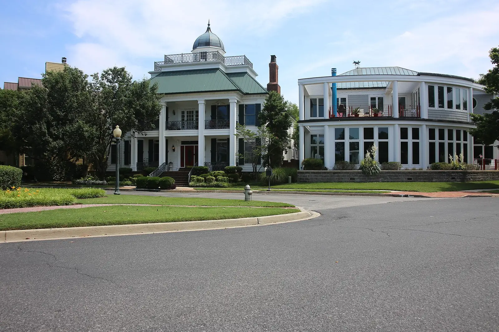
North Memphis, the city's North planning district from Harbor Town to Hollywood, spans ZIP codes 38107, 38108 and 38103 and is mostly zoned for Manassas High.
Last checked Oct. 18, 2026. Sources: the City of Memphis’s Memphis 3.0 planning districts and district boundary layer, the Memphis 3.0 Comprehensive Plan, 2021 update (PDF), the city’s parks layer, Memphis-Shelby County Schools’ School Zone Locator, the Tennessee Department of Education’s 2024-25 letter grades, the Zillow Home Value Index, 2020 Census block counts and OpenStreetMap. Memphis 3.0 planning office: 901-636-6601.
North Memphis is the city’s North District in the Memphis 3.0 comprehensive plan: the neighborhoods north of downtown and Midtown, from Harbor Town on Mud Island to Hollywood in the east. About 33,000 people lived in it at the 2020 census, in about 17,200 homes, by our count of Census blocks inside the district line.
What this means for you
- High school: about 76% of residents, Harbor Town included, are zoned for Manassas High; parts of the east and south are zoned for Douglass High or Central High.
- Home value: Zillow’s typical value in ZIP code 38107 was $103,875 in September 2026; in Harbor Town’s 38103, $319,364.
- Interstate: I-40 Exit 2 (Chelsea Avenue and Smith Avenue) is about half a mile from the district’s population center.
Where it is
On the city’s district map, the North District runs from the Wolf River on the north south to North Parkway and A. W. Willis Avenue, and from Mud Island on the west to Jackson Avenue on the east. I-40 crosses it. Main streets inside include Chelsea Avenue, Hollywood Street, Watkins Street and Vollintine Avenue. About 46% of residents are in ZIP code 38107, 28% in 38108, 17% in 38103 and 7% in 38112.
The plan’s district map of places residents named in workshops shows the neighborhoods Hollywood, Harbor Town, Uptown, Douglass, New Chicago, Hyde Park, Smokey City, Klondike, Winchester Park, Vollintine Evergreen and Hein Park. The comprehensive plan names neighborhood crossings at Chelsea and Hollywood, Chelsea and Ayers, Jackson and Evergreen, Jackson and Hastings, Springdale and Brown, Brown and Watkins, Firestone and Breedlove and Douglass Park. It puts the district’s housing vacancy rate at 21% and says the area could take 191 new housing units a year.
Schools
Memphis-Shelby County Schools assigns schools by address. In the zone data behind its School Zone Locator:
| School | Address | Share of 2020 residents zoned | 2024-25 state grade |
|---|---|---|---|
| Manassas High | 1111 N. Manassas St. | 76% | D |
| Douglass High | 3200 Mount Olive Road | 15% | B |
| Central High | 306 S. Bellevue Blvd. | 9% | B |
| Caldwell-Guthrie | 951 Chelsea Ave. | 39% (middle), 12% (elementary) | F |
| Grandview Heights Middle | 2342 Clifton Road | 29% | F |
| Snowden Elementary/Middle | 1870 N. Parkway | 19% | D |
| Douglass Elementary/Middle | 1650 Ash St. | 13% | F |
| Downtown Elementary | 10 N. Fourth St. | 26% | C |
| Vollentine Elementary | 1682 Vollintine Ave. | 20% | C |
| Springdale Elementary | 880 N. Hollywood St. | 7% | B |
Grades are from the Tennessee Department of Education’s 2024-25 A-F letter grade file; addresses are from the federal NCES school directory and the district’s locator. Harbor Town falls in the Downtown Elementary, Caldwell-Guthrie and Manassas High zones. Zones split the district, so check one address in the locator. More in our schools guide.
Home values
According to the Zillow Home Value Index (Zillow Research):
| Area | September 2026 | September 2025 | Change |
|---|---|---|---|
| ZIP code 38107 | $103,875 | $107,743 | -3.6% |
| ZIP code 38108 | $66,545 | $69,538 | -4.3% |
| ZIP code 38103 (Harbor Town and downtown) | $319,364 | $334,944 | -4.7% |
| City of Memphis | $151,794 | $156,121 | -2.8% |
The index is a modeled typical value for the middle third of homes, not a sale price. More in our home prices guide.
Parks and trails
From the city’s parks layer:
- Mud Island Park, about 183 acres, and the Mississippi River Greenbelt, about 69 acres, along the river side of Harbor Town.
- Douglass Park, about 40 acres.
- New Chicago Park, about 12 acres, 1079 St. Charles Ave.
- Gooch Park, 1235 University St.; Washington Park, 179 Marble Ave.; Bickford Park, 232 Bickford Ave.; and Klondike Park, 1235 Brown Ave.
- The V and E Greenline, about 9 acres, from North Parkway to Springdale Street.
Libraries: the North Branch at 1192 Vollintine Ave. and the Hollywood Branch at 1530 N. Hollywood St. More in our parks and trails guide.
Getting around
- I-40: from the district’s population center, Exit 2 (Chelsea Avenue and Smith Avenue) is about half a mile and Exit 1F (Jackson Avenue, State Route 14) about 0.7 mile, as the crow flies (OpenStreetMap).
- Distances: about 3.5 miles by road to City Hall downtown and 10.2 miles to Memphis International Airport, measured on the OpenStreetMap road network. These are distances, not drive times.
- Buses: in the Memphis Area Transit Authority’s latest public schedule data we could download (a February 2025 feed), Routes 7, 8, 11, 19, 32, 40, 42, 52 and 53 stop in the district, led by Route 8 Chelsea and Highland and Route 19 Vollintine. Check the MATA routes page or call 901-274-6282.
Groceries and everyday stores
OpenStreetMap maps no chain supermarket or pharmacy inside the district line. It shows three small grocery stores: New Chicago Grocery, 1292 N. Bellevue Blvd.; Breedlove Grocery on Breedlove Street; and Sunshine Grocery on North Evergreen Street. The plan lists better access to fresh food among the district’s priorities.
More neighborhoods
North Memphis is one of the areas in our Memphis neighborhoods guide. Next door: Downtown and Midtown to the south and Frayser across the Wolf River.
Map data © OpenStreetMap contributors. District boundaries and parks: City of Memphis. School zones: Memphis-Shelby County Schools. Population and ZIP codes: U.S. Census Bureau.
Frequently asked questions
What neighborhoods are in North Memphis?
The city’s Memphis 3.0 plan maps Hollywood, Harbor Town, Uptown, Douglass, New Chicago, Hyde Park, Smokey City, Klondike, Winchester Park, Vollintine Evergreen and Hein Park in its North District.
What high school serves North Memphis?
Most of it. About 76% of the district’s 2020 residents were zoned for Manassas High in Memphis-Shelby County Schools’ zone data; Manassas earned a D on Tennessee’s 2024-25 letter grades. Smaller parts are zoned for Douglass High (B) and Central High (B).
What ZIP code is Harbor Town in?
38103, the downtown ZIP code. Zillow’s typical home value there was $319,364 in September 2026. ZIP code 38107, which covers most of North Memphis, was $103,875.
How far is North Memphis from downtown?
About 3.5 miles by road from the district’s population center to City Hall, measured on the OpenStreetMap road network. I-40 Exit 2 (Chelsea Avenue and Smith Avenue) is about half a mile away.
Have your say