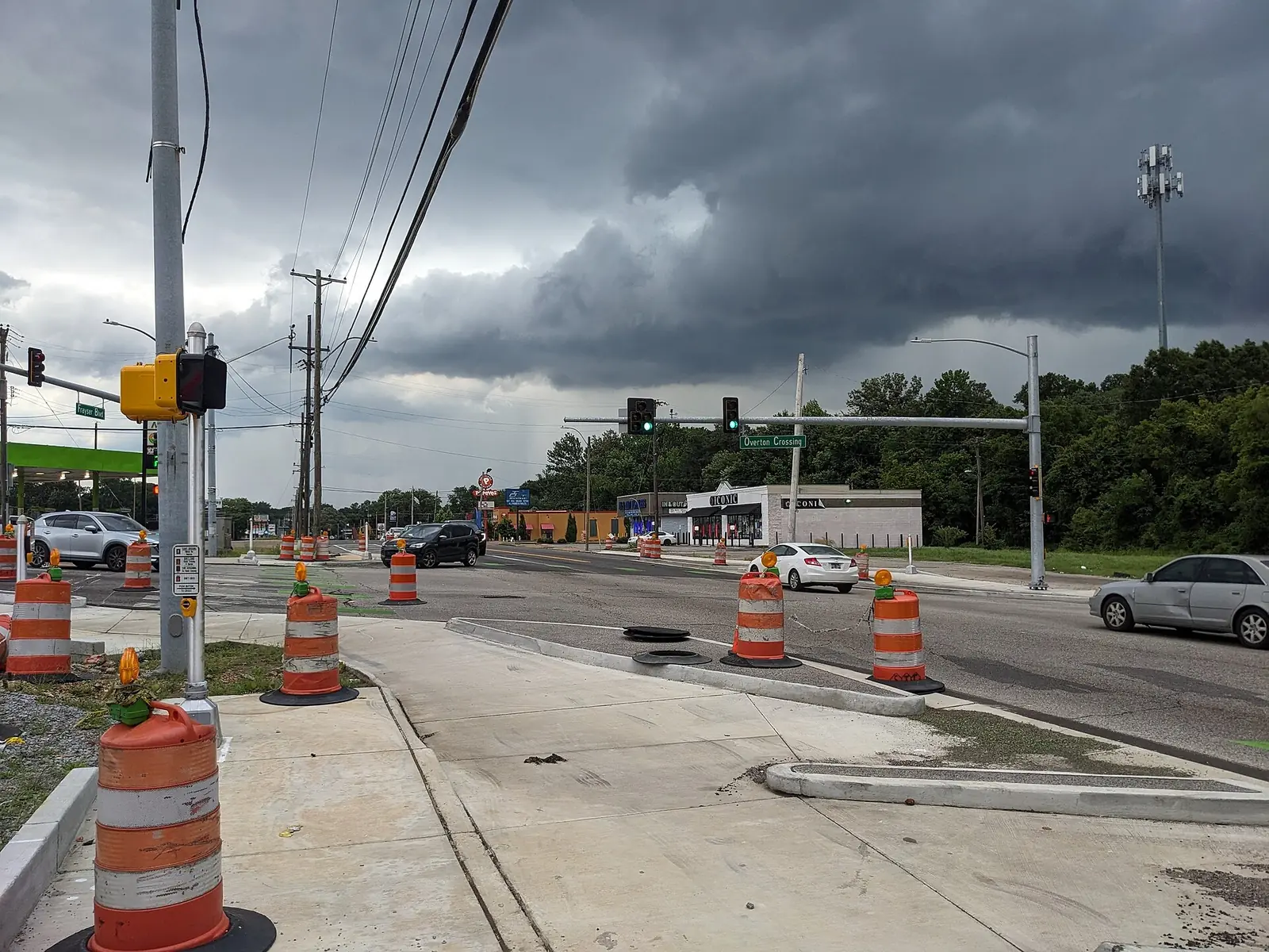
Frayser, the city's Frayser planning district between the Wolf and Loosahatchie rivers, is all in ZIP code 38127 and zoned for Trezevant High.
Last checked Oct. 18, 2026. Sources: the City of Memphis’s Memphis 3.0 planning districts and district boundary layer, the Memphis 3.0 Comprehensive Plan, 2021 update (PDF), the city’s parks layer, Memphis-Shelby County Schools’ School Zone Locator, the Tennessee Department of Education’s 2024-25 letter grades, the Zillow Home Value Index, 2020 Census block counts and OpenStreetMap. Memphis 3.0 planning office: 901-636-6601.
Frayser is the city’s northwest corner, one of the 14 planning districts in the city’s Memphis 3.0 comprehensive plan. About 36,800 people lived in it at the 2020 census, in about 14,900 homes, by our count of Census blocks inside the district line. OpenStreetMap marks the places Frayser, Felts, Overton and Frayser Spring Hill inside it.
What this means for you
- High school: the whole district is zoned for Trezevant High.
- Home value: Zillow’s typical value in ZIP code 38127 was $86,555 in September 2026.
- Interstate: I-40 runs along the south side, with Exit 3 (Watkins Street) about 2 miles south of the district’s population center.
Where it is
On the city’s district map, Frayser runs from the Wolf River on the south to the Loosahatchie River on the north, with a CN rail line along much of its east side and Millington Road near its west edge. Main streets inside include Frayser Boulevard, Watkins Street, Thomas Street and Range Line Road. It is all in ZIP code 38127.
The comprehensive plan names four small centers in Frayser it calls neighborhood crossings: Dellwood and Steele, Delano and Watkins, the Frayser Gateway and a fourth tied to its Accelerate program. Its district map of places residents named in workshops includes the neighborhoods Georgian Hills, Grandview North, Rugby Estates, Skylake, St. Elmo, Jefferson Park, Alta Vista, Patricia Heights and Northwood Village. The city’s district planner for Frayser is listed on the district page.
Schools
Memphis-Shelby County Schools assigns schools by address. In the zone data behind its School Zone Locator, every block of the district with 2020 residents is zoned for Trezevant High; middle and elementary zones split the district:
| School | Address | Share of 2020 residents zoned | 2024-25 state grade |
|---|---|---|---|
| Trezevant High | 3350 N. Trezevant St. | 100% | D |
| Grandview Heights Middle | 2342 Clifton Road | 72% | F |
| Georgian Hills Middle | 3925 Denver St. | 28% | B |
| Whitney Elementary | 1219 Whitney Ave. | 32% | C |
| Hawkins Mill Elementary | 4295 Mountain Terrace St. | 26% | B |
| Lucie E. Campbell Elementary | 3232 Birchfield Drive | 22% | D |
| Westside Elementary | 3347 Dawn Drive | 21% | D |
Grades are from the Tennessee Department of Education’s 2024-25 A-F letter grade file; addresses are from the federal NCES school directory. Check any single address in the locator. More in our schools guide.
Home values
According to the Zillow Home Value Index (Zillow Research):
| Area | September 2026 | September 2025 | Change |
|---|---|---|---|
| ZIP code 38127 | $86,555 | $92,319 | -6.2% |
| City of Memphis | $151,794 | $156,121 | -2.8% |
The index is a modeled typical value for the middle third of homes, not a sale price. More in our home prices guide.
Parks and trails
From the city’s parks layer:
- Rodney Baber Park, about 164 acres, 2215 James Road.
- Frayser Park, about 38 acres, on North Watkins Street.
- Pershing Park (about 35 acres), Litty Park (30), Westside Park (26), Georgian Hills Park (19), Kline Park (19) and George Alberson Park (16).
- The Links at Davy Crockett, a city golf course of about 297 acres on North Range Line Road.
The Frayser Branch Library is at 3712 Argonne St. More in our parks and trails guide.
Getting around
- I-40: the interstate runs along the south side. From the district’s population center, Exit 3 (Watkins Street), Exit 2A (U.S. 51 toward Millington) and Exit 5 (Hollywood Street) are each about 2 miles south as the crow flies (OpenStreetMap).
- Distances: about 7.5 miles by road to City Hall downtown and 14.6 miles to Memphis International Airport, measured on the OpenStreetMap road network from the district’s population center. These are distances, not drive times.
- Buses: in the Memphis Area Transit Authority’s latest public schedule data we could download (a February 2025 feed), Route 11 Frayser, Route 32 Hollywood and Hawkins Mill, Route 40 Stage and Lauderdale and Route 42 Crosstown stop in the district. Routes change; check the MATA routes page or call 901-274-6282. More in getting around.
Groceries and everyday stores
From OpenStreetMap:
- Kroger, 2632 Frayser Blvd.
- Superlo Foods, 3327 N. Watkins St.
- Walgreens, on Range Line Road and on Whitney Avenue.
More neighborhoods
Frayser is one of the areas in our Memphis neighborhoods guide. Next door: Raleigh to the east and North Memphis across the Wolf River.
Map data © OpenStreetMap contributors. District boundaries and parks: City of Memphis. School zones: Memphis-Shelby County Schools. Population and ZIP codes: U.S. Census Bureau.
Frequently asked questions
Where is Frayser in Memphis?
In the city’s northwest corner. On the city’s Memphis 3.0 planning district map, the Frayser District runs from the Wolf River north to the Loosahatchie River, with a CN rail line along much of its east side.
What high school is Frayser zoned for?
Trezevant High, 3350 N. Trezevant St. Every block of the district with 2020 residents falls in its zone in Memphis-Shelby County Schools’ zone data. Trezevant earned a D on Tennessee’s 2024-25 letter grades.
What ZIP code is Frayser?
- Zillow’s typical home value there was $86,555 in September 2026, down 6.2% from a year earlier, according to the Zillow Home Value Index.
How far is Frayser from downtown Memphis?
About 7.5 miles by road from the district’s population center to City Hall at 125 N. Main St., and about 14.6 miles to Memphis International Airport, measured on the OpenStreetMap road network. These are distances, not drive times.
Have your say