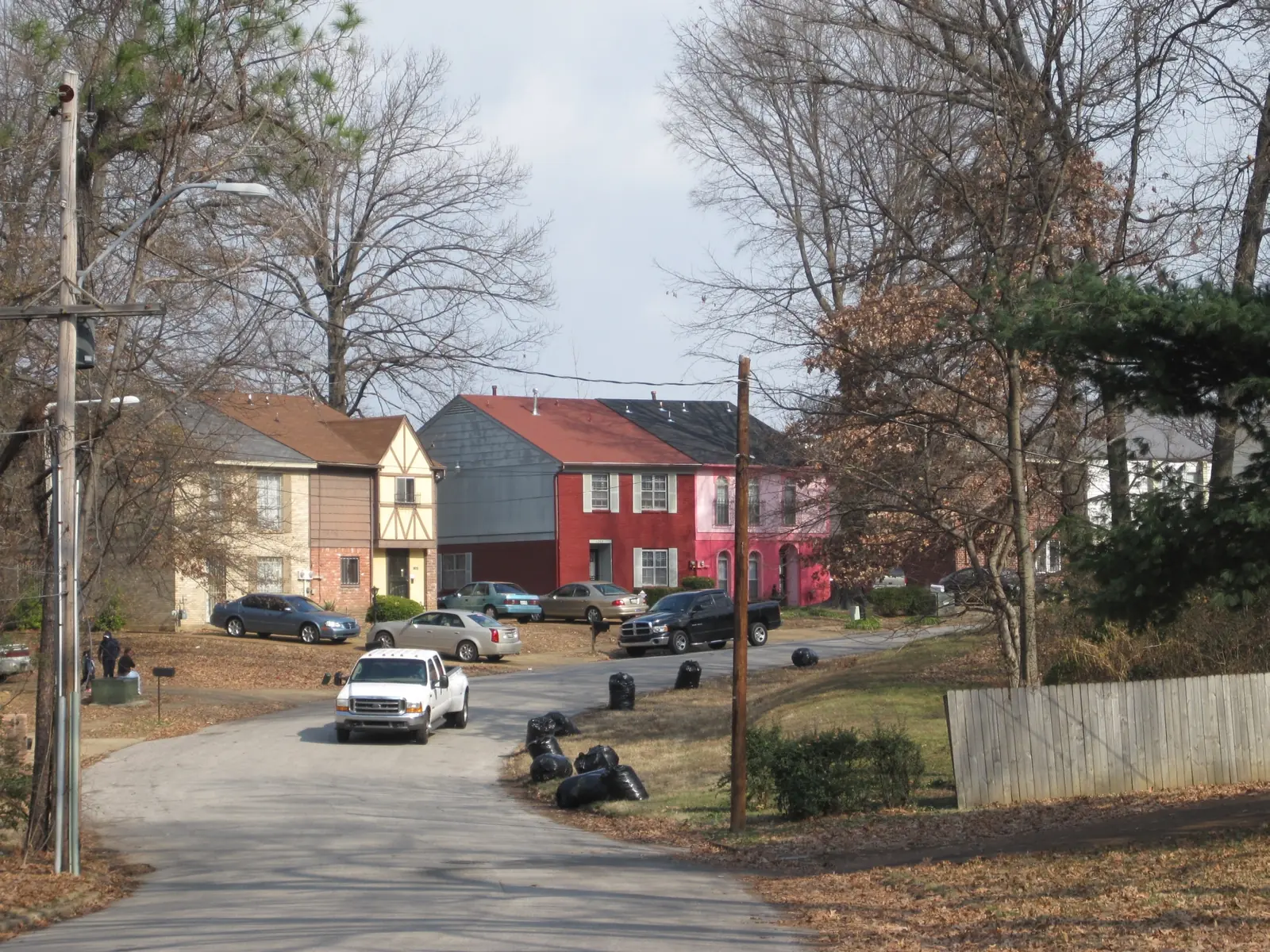
Whitehaven, the city's Whitehaven planning district along Elvis Presley Boulevard, is all in ZIP code 38116 and split between Hillcrest and Whitehaven high zones.
Last checked Oct. 18, 2026. Sources: the City of Memphis’s Memphis 3.0 planning districts and district boundary layer, the Memphis 3.0 Comprehensive Plan, 2021 update (PDF), the city’s parks layer, Memphis-Shelby County Schools’ School Zone Locator, the Tennessee Department of Education’s 2024-25 letter grades, the Zillow Home Value Index, 2020 Census block counts and OpenStreetMap. Memphis 3.0 planning office: 901-636-6601.
Whitehaven is one of the 14 planning districts in the city’s Memphis 3.0 comprehensive plan, the south side along Elvis Presley Boulevard, home to Graceland. About 39,200 people lived in the district at the 2020 census, in about 17,000 homes, by our count of Census blocks inside the district line.
What this means for you
- High school: split; about 51% of residents are zoned for Hillcrest High and 44% for Whitehaven High.
- Home value: Zillow’s typical value in ZIP code 38116 was $151,252 in September 2026.
- Interstate: I-55 Exit 2B (Shelby Drive) is about 0.6 mile from the district’s population center.
Where it is
On the city’s district map, Whitehaven runs from I-240 on the north to the Mississippi state line on the south, with Airways Boulevard on the east and a rail line near South Third Street on the west. I-55 crosses its southwest side. Main roads inside include Elvis Presley Boulevard, Millbranch Road, Raines Road, Holmes Road and Shelby Drive. The whole district is in ZIP code 38116.
The plan’s district map of places residents named in workshops shows the neighborhoods Old Hickory Hills, Whitehaven, Gardenview, Auburn Ridge, Red Oaks, Whitehaven View and Holmesdale. The comprehensive plan describes stable single-family neighborhoods with relatively little blight and vacancy, projects the district to gain 65 households a year and names Elvis Presley and Shelby Drive as a neighborhood main street.
Schools
Memphis-Shelby County Schools assigns schools by address. In the zone data behind its School Zone Locator:
| School | Address | Share of 2020 residents zoned | 2024-25 state grade |
|---|---|---|---|
| Hillcrest High | 4184 Graceland Drive | 51% | D |
| Whitehaven High | 4851 Elvis Presley Blvd. | 44% | A |
| Mitchell High | 658 W. Mitchell Road | 5% | B |
| A. Maceo Walker Middle | 1900 E. Raines Road | 61% | C |
| Havenview Middle | 1481 Hester Road | 39% | C |
| Robert R. Church Elementary | 4100 Millbranch Road | 25% | F |
| Gardenview Elementary | 4075 Hartz Drive | 13% | D |
| Oakshire Elementary | 1765 E. Holmes Road | 12% | C |
| Holmes Road Elementary | 1083 E. Holmes Road | 12% | C |
| Whitehaven Elementary | 4783 Elvis Presley Blvd. | 11% | B |
| Winchester Elementary | 3587 Boeingshire Drive | 10% | C |
| Westhaven Elementary | 4585 Hodge Road | 10% | B |
Hillcrest High is graded in the state file under the Achievement School District. Grades are from the Tennessee Department of Education’s 2024-25 A-F letter grade file; addresses are from the federal NCES school directory and the district’s locator. Check one address in the locator. More in our schools guide.
Home values
According to the Zillow Home Value Index (Zillow Research):
| Area | September 2026 | September 2025 | Change |
|---|---|---|---|
| ZIP code 38116 | $151,252 | $152,958 | -1.1% |
| City of Memphis | $151,794 | $156,121 | -2.8% |
The index is a modeled typical value for the middle third of homes, not a sale price. More in our home prices guide.
Parks and trails
From the city’s parks layer:
- Gardenview Park, about 20 acres.
- Whitehaven Park, about 15 acres, 4318 Graceland Drive.
- Polly Williams Park, about 15 acres, 3910 Cheryl Drive.
- David Carnes Park, about 9 acres, 4744 Fairfield Road.
The Whitehaven Branch Library is at 4120 Millbranch Road. More in our parks and trails guide and history and landmarks guide.
Getting around
- I-55: from the district’s population center, Exit 2B (Shelby Drive, State Route 175) is about 0.6 mile and Exit 5 (Brooks Road and Elvis Presley Boulevard, U.S. 51) about 1.9 miles, as the crow flies (OpenStreetMap).
- Distances: about 10.6 miles by road to City Hall downtown and 4.2 miles to Memphis International Airport, measured on the OpenStreetMap road network. These are distances, not drive times.
- Buses: in the Memphis Area Transit Authority’s latest public schedule data we could download (a February 2025 feed), Route 42 Crosstown, Route 69 Winchester, Route 30 Brooks and Route 28 Airport stop most in the district, with Routes 4, 12, 32 and 39 also stopping. Check the MATA routes page or call 901-274-6282.
Groceries and everyday stores
From OpenStreetMap:
- Kroger, 1212 E. Shelby Drive.
- Walmart Supercenter, 5255 Elvis Presley Blvd.
- Aldi, 4056 Elvis Presley Blvd.
- Walgreens and CVS Pharmacy, on Elvis Presley Boulevard, East Raines Road and East Shelby Drive.
More neighborhoods
Whitehaven is one of the areas in our Memphis neighborhoods guide. Next door: Parkway Village and Oakhaven across Airways Boulevard and South Memphis to the north.
Map data © OpenStreetMap contributors. District boundaries and parks: City of Memphis. School zones: Memphis-Shelby County Schools. Population and ZIP codes: U.S. Census Bureau.
Frequently asked questions
Where is Whitehaven in Memphis?
In the south part of the city. On the city’s Memphis 3.0 map, the Whitehaven District runs from I-240 south to the Mississippi state line, with Airways Boulevard on the east. Elvis Presley Boulevard runs through the middle.
What high school serves Whitehaven?
It depends on the address. In Memphis-Shelby County Schools’ zone data, about 51% of the district’s 2020 residents were zoned for Hillcrest High and 44% for Whitehaven High. On Tennessee’s 2024-25 letter grades, Whitehaven High earned an A and Hillcrest High a D.
What ZIP code is Whitehaven?
- Zillow’s typical home value there was $151,252 in September 2026, down 1.1% in a year, according to the Zillow Home Value Index.
Is Graceland in Whitehaven?
Yes. Graceland, on Elvis Presley Boulevard, is inside the city’s Whitehaven planning district, north of Old Hickory Hills.
Have your say